UN
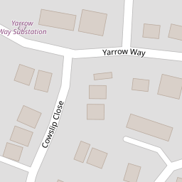
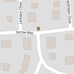
81 Yarrow Way
£ 225,000
Description
We don't have a Description for this property.
- Bedrooms
- 2
- Bathrooms
- 0


Leaflet © OpenStreetMap contributors
The heatmap indicates the level of crime in the area. The color of the heatmap indicates the crime severity and recency.
Metrics Year-on-Year
- Average area value
- 379,510.00 £Increased by 6.45 %
- Average area rental value
- 1,288.00 £/moIncreased by 5.23 %
- Est rental Yield
- 4.07 %Decreased by 1.21 %
- Crime Rate
- 9.00 %Unchanged by 0.00 %
from 356,523.00 £
from 1,224.00 £/mo
from 4.12 %
from 9.00 %
Nearby Schools
| Name | Type | Ofsted | Distance |
|---|---|---|---|
| Sovereign And Strawberry Meadow Children'S Centre | Children's Centre | 0.85 KM | |
| Brookfield Community School | Community School | Good | 0.99 KM |
| Sarisbury Infant School | Community School | Outstanding | 1.21 KM |
| Locks Heath Junior School | Community School | Good | 1.24 KM |
| Hook-With-Warsash Church Of England Academy | Academy Converter | Good | 1.33 KM |
Images
Nearby Streets
| Name | Average Price | Average Sqft | Distance |
|---|---|---|---|
| Highfields | £ 775,000 | 0 | 0.00 KM |
| Greenaway Lane | £ 685,000 | 0 | 0.00 KM |
| Dibles Road (East) | £ 491,667 | 0 | 0.00 KM |
| Seaford Road | £ 325,000 | 0 | 0.00 KM |
| Brookside Drive | £ 775,000 | 0 | 0.00 KM |
Nearby Transport
| Name | NLC | TLC | Distance |
|---|---|---|---|
| Swanwick | 5920 | SNW | 2.97 KM |
| Bursledon | 5927 | BUO | 3.70 KM |
| Hamble | 5947 | HME | 5.13 KM |
| Netley | 5911 | NTL | 6.60 KM |
| Botley | 5894 | BOE | 7.21 KM |
Nearby Listings
| Address | Price | Type | Score | Distance |
|---|---|---|---|---|
| Yarrow Way, Locks Heath, Southampton | £ 275,000 | BUY | 7 / 10 | 0.02 KM |
| Yarrow Way, Locks Heath, Southampton | £ 327,500 | BUY | Unknown | 0.04 KM |
| Knottgrass Road, Locks Heath | £ 295,000 | BUY | Unknown | 0.07 KM |
| 8 Knottgrass Road, Locks Heath | £ 410,000 | BUY | 7 / 10 | 0.12 KM |
| Woodrush Crescent, Locks Heath, Southampton | £ 270,000 | BUY | 7 / 10 | 0.12 KM |
Nearby Properties
| Address | Price | Distance |
|---|---|---|
| 69 Yarrow Way | £ 182,000 | 0.00 KM |
| 79 Yarrow Way | £ 229,950 | 0.00 KM |
| 87 Yarrow Way | £ 291,000 | 0.00 KM |
| 75 Yarrow Way | £ 222,000 | 0.00 KM |
| 71 Yarrow Way | £ 252,500 | 0.00 KM |